3YP north west region
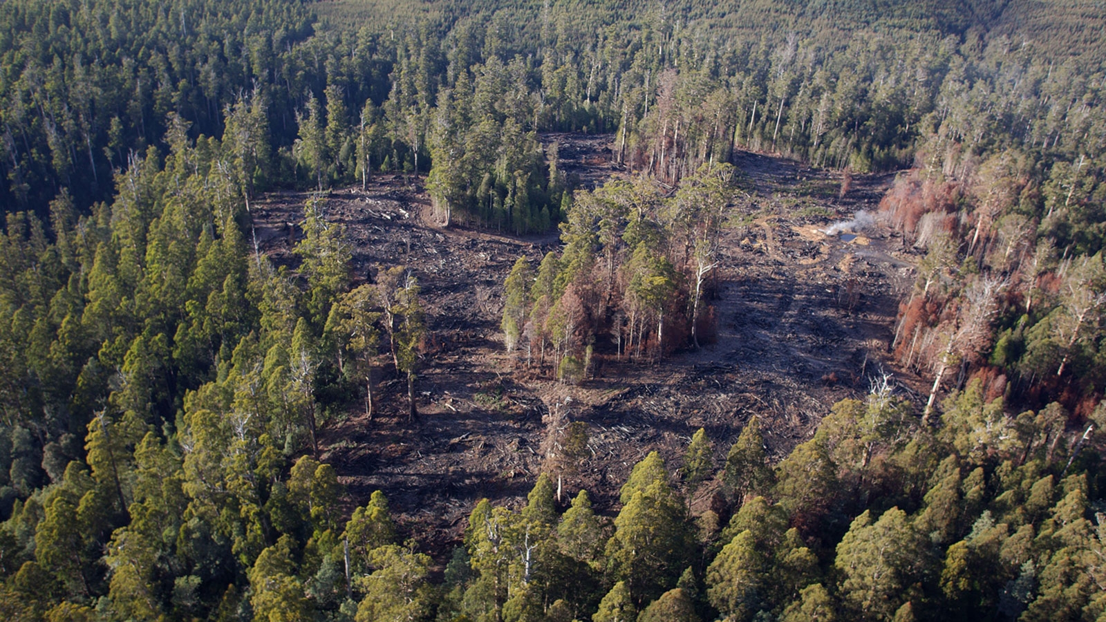
Please note the provisional coupe boundaries shown on our interactive map viewer provide indicative locations and the likely maximum extent of the intended harvest operations.
During the detailed operational planning processes that will occur, the planned coupe harvest area may be reduced to appropriately manage identified values, for example by including streamside reserves and habitat retention for threatened species.
The final coupe and harvest boundaries, operational specifications and expected product volumes will only be determined following detailed field surveys, evaluation of natural and cultural values and stakeholder consultation.
The outcomes of these iterative processes will be documented in a Forest Practices Plan. These plans are required to be finalised and certified prior to commencement of any harvesting and reforestation operation. Forest Practices Plans are available upon request.
To make it easier for stakeholders to identify the locations of coupes that may be of interest, an interactive map is available. Stakeholders can use this map to zoom in on their area of interest and identify various attributes including coupes planned for harvesting under this Three Year Wood Production Plan.
For further information, please contact:
Engagement Team
Phone: (03) 6169 2868
Email: stakeholder@sttas.com.au